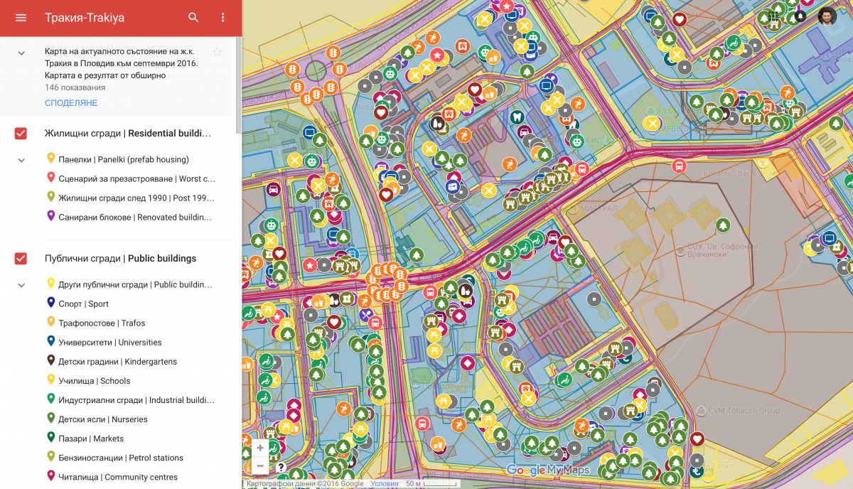
One of the results of the months-long research, organised by ONE ARCHITECTURE WEEK in 2016 is an interactive online map, which represents the current condition of the neighbourhood of Trakiya. The map is publically accessible and one can see (and activate) different layers of Trakiya’s reality: from the sewage network through the location of the small family businesses, to the position of the locally built besedkas and the cowpaths cutting through the green spaces. The data, reflected in this map has been collected in the course of the first 6 months of 2016 from various sources. It was collected by university students, NGO representatives, many volunteers and the festival’s team. The online map itself was created by Angel Bondov from IN-Formal.
Interactive online map of Trakiya